
Cool & Quiet Weekend Ahead
Here's the weather outlook from AM Saturday to AM Monday, which shows fairly quiet weather to start the week. There could be a few showers Tuesday and Wednesday as a storms system slides through the Midwest. It also looks like there will be thunderstorms possible later in the week as a warm front lifts north.

Precipitation Potential Through Next Week
Here's the extended precipitation outlook through next weekend, which shows fairly decent rain amounts across the region coming in 2 different waves. The first will come through midweek and the second will move through late week and during the weekend ahead. Some spots could see 1" to 2" of rain especially across the southeastern part of the state.

Precipitation So Far This May
It's been a wet May so far with several locations seeing several inches of rain already. St. Cloud is has had nearly 6" of rain this month, which is the 3rd wettest start to any May on record.


Precipitation Since January 1st
The last several weeks have been quite active across the Midwest and precipitation amounts have been fairly appreciative in some locations. Note that the Twin Cities has seen nearly 10.60" of liquid so far this year, which is the 25th wettest start to any year on record in the Twin Cities. St. Cloud is the 8th wettest start to any year on record.

Precipitation Departure From Average Since January 1st

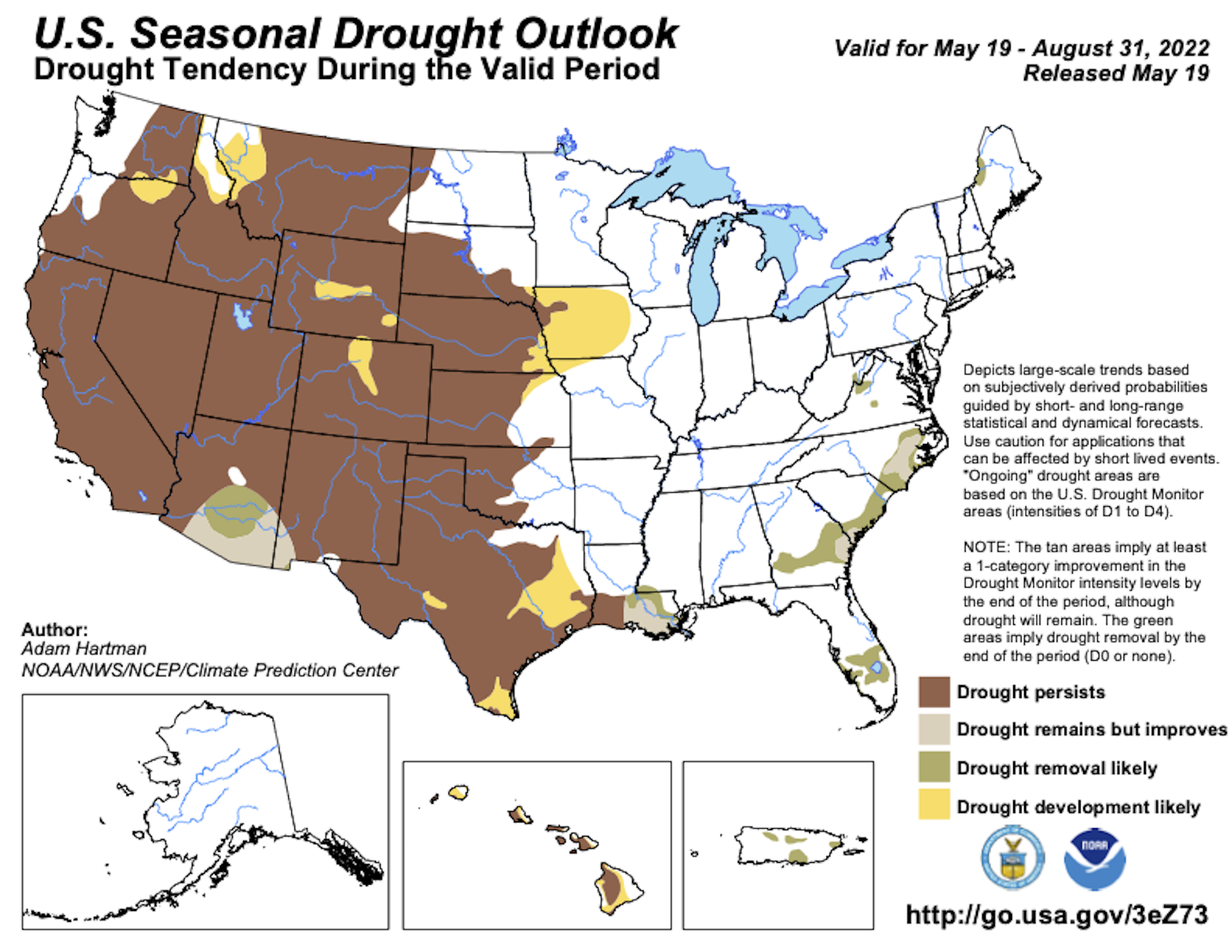
Minnesota Drought Update
Thanks to above average precipitation so far this year, we've wiped out much of the drought that was in place to start the year. In fact, as of early January, nearly 10% of the state in northern Minnesota was considered in a severe drought. Now, only 3% of the state is considered to be abnormally dry.

Status of Spring
"May 18, 2022 - Spring leaf out has now arrived at all but the highest elevation locations in the West. Our spring leaf anomaly compares the arrival of spring leaf out this year to a long-term average of 1991-2020. In the East, spring leaf out is patchy this year, arriving days to weeks late across much of the Southeast and upper Midwest, and arriving days to weeks early across the southern part of the Midwest, the Southern Appalachians, the mid-Atlantic, and the Northeast. In western states, spring leaf out is also patchy, arriving a week late in some locations and over a month early in others. Parts of Montana and South Dakota are 2-3 weeks early. Spring bloom is also spreading north, arriving days to a week late in Texas and Florida and days to several weeks early in California. Spring bloom is over a week early in parts of Georgia, the Carolinas, and Virginia. The mid-Atlantic is patchy, several days early in some locations and several days late in others. The southern part of the Midwest is several days to a week late."

Twin Cities Weather Outlook For Monday
The weather outlook for Minneapolis on Monday looks fairly quiet with a mix of sun and clouds. Temperatures will warm into the mid 60s, which will still be nearly -5F to -10F below average. Winds won't be as strong as they were last weekend, but at least it'll be a little warmer.


