
Snow And Ice Thursday Night Into Friday
Forecast loop from 6 PM Thursday to 6 PM Friday.
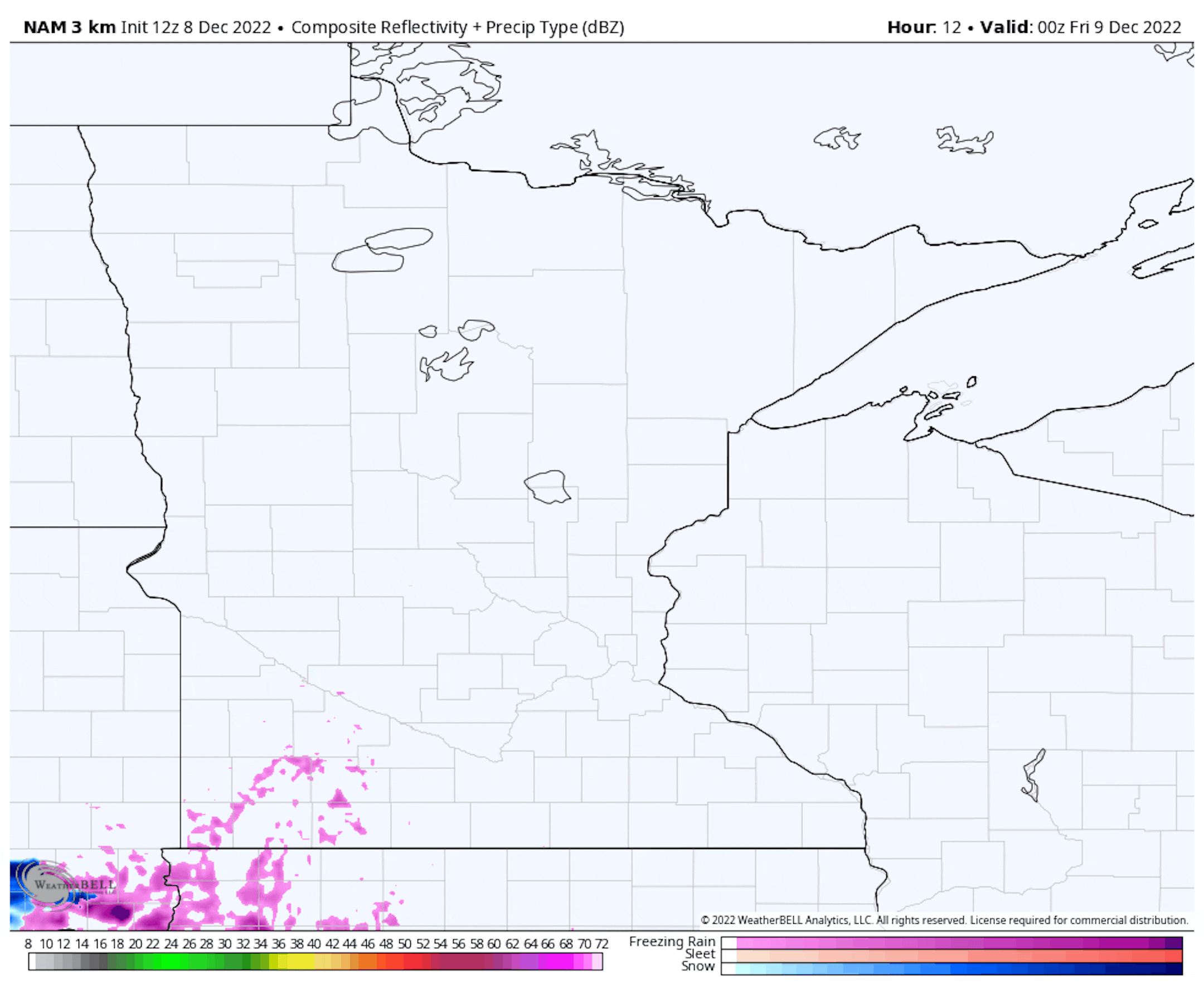
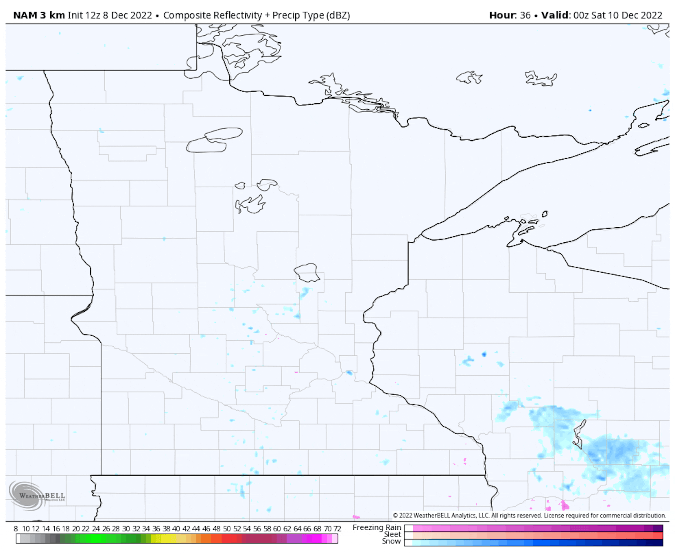
As we head through Thursday night into Friday we will be watching a batch of snow and freezing rain pushing north out of Iowa into southern Minnesota, with snow reaching the metro just before the morning rush. While the heaviest snow that falls across the metro would be during the morning hours, lingering snow showers or flurries could continue into the afternoon.
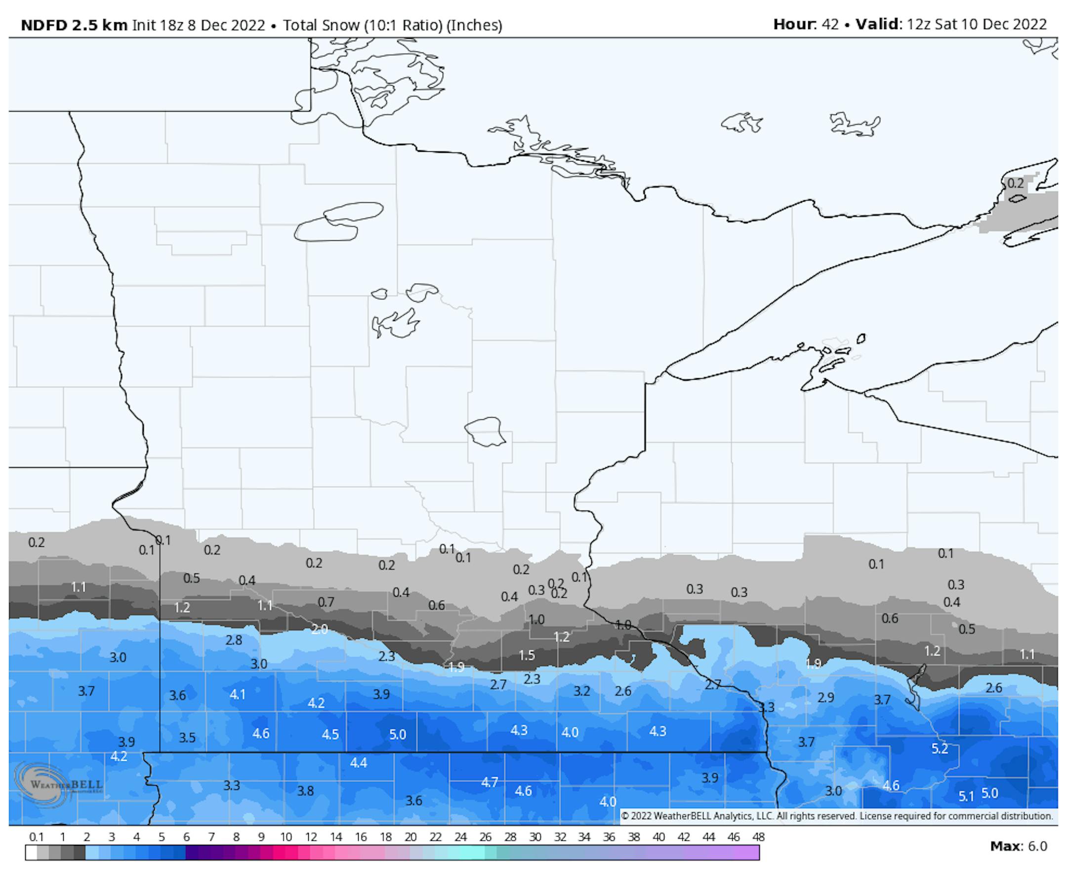
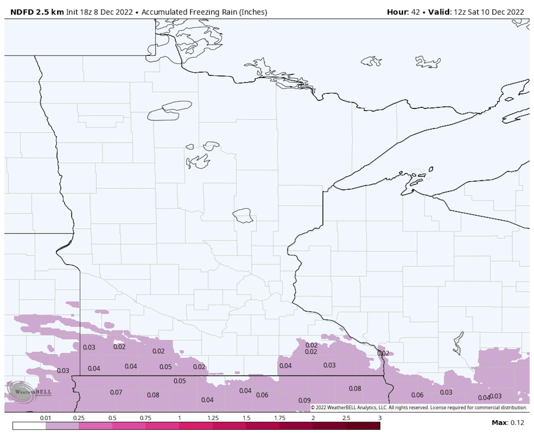
Across the Twin Cities, the south metro will see the heaviest snow amounts with maybe an inch or two possible. The heaviest snow will far down toward I-90, where amounts up to 6" will be possible. In southern Minnesota will be where the best chance of some freezing rain will also occur, with maybe up to 0.05" causing slick roads.
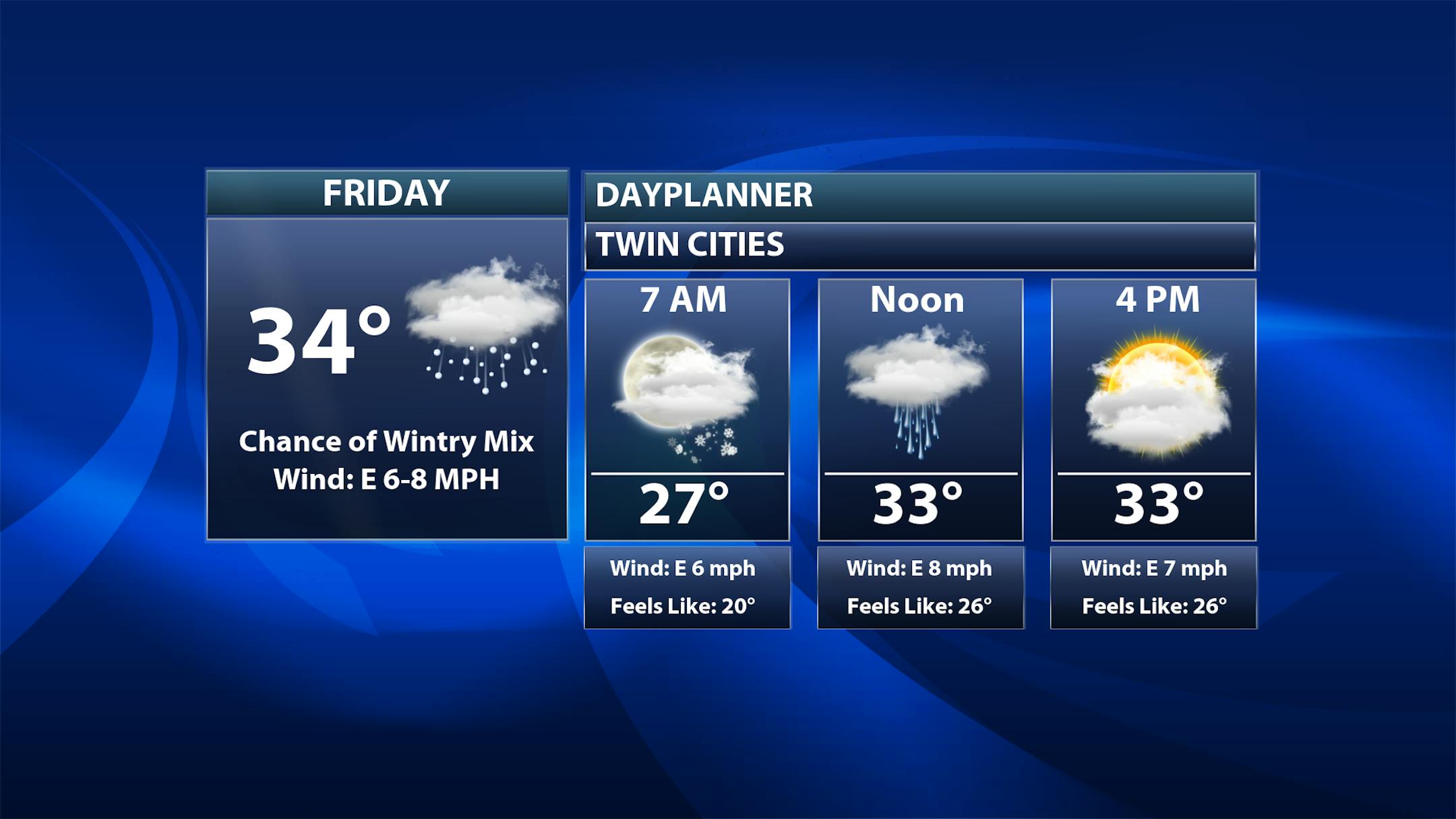
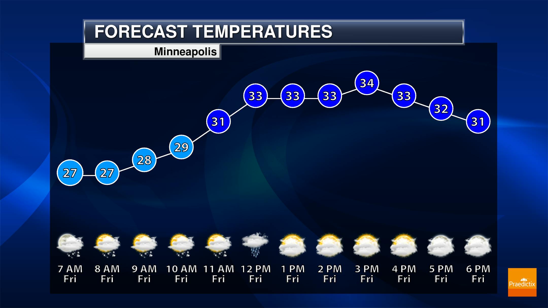
So in the metro through at least the morning hours we will be watching the potential for a few snow showers that'll move in just in time for rush hour. It should taper to mainly flurries by the afternoon. Morning temperatures will be in the mid-to-upper 20s with highs in the mid-30s.
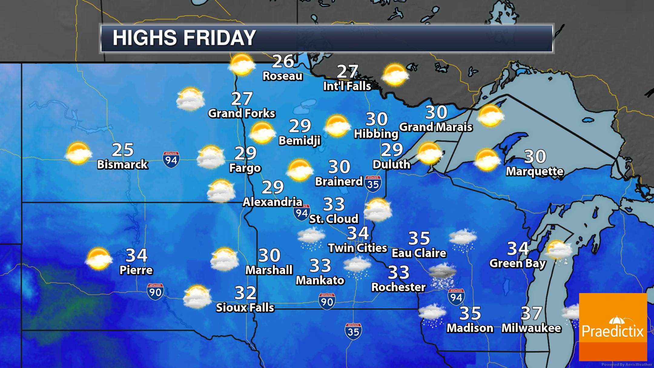
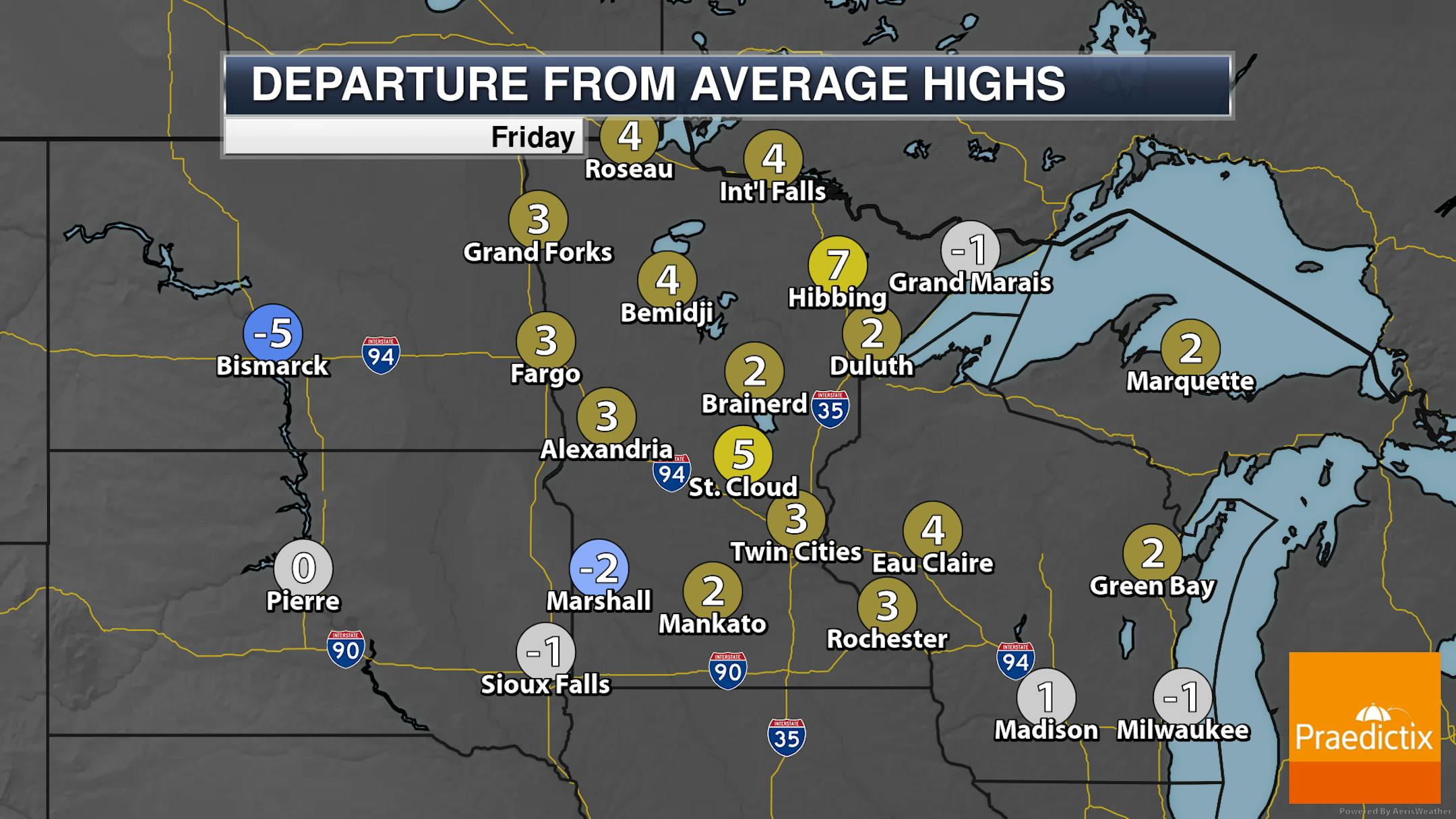
It'll be a mainly cloudy Friday across the state (best chance of some sunshine: northwestern Minnesota) with some snow showers or mixed precipitation across southern Minnesota. Highs range from the 20s to the 30s.
_______________________________________________
More Wintry Precipitation Friday Night Into Saturday
Forecast loop from 6 PM Friday to 6 PM Saturday.
Another round of wintry precipitation is expected as we head through Friday Night into Saturday across the region. Up across northern Minnesota, it should mainly be in the form of snow, but as you head farther south it'll be more drizzle or freezing drizzle.


