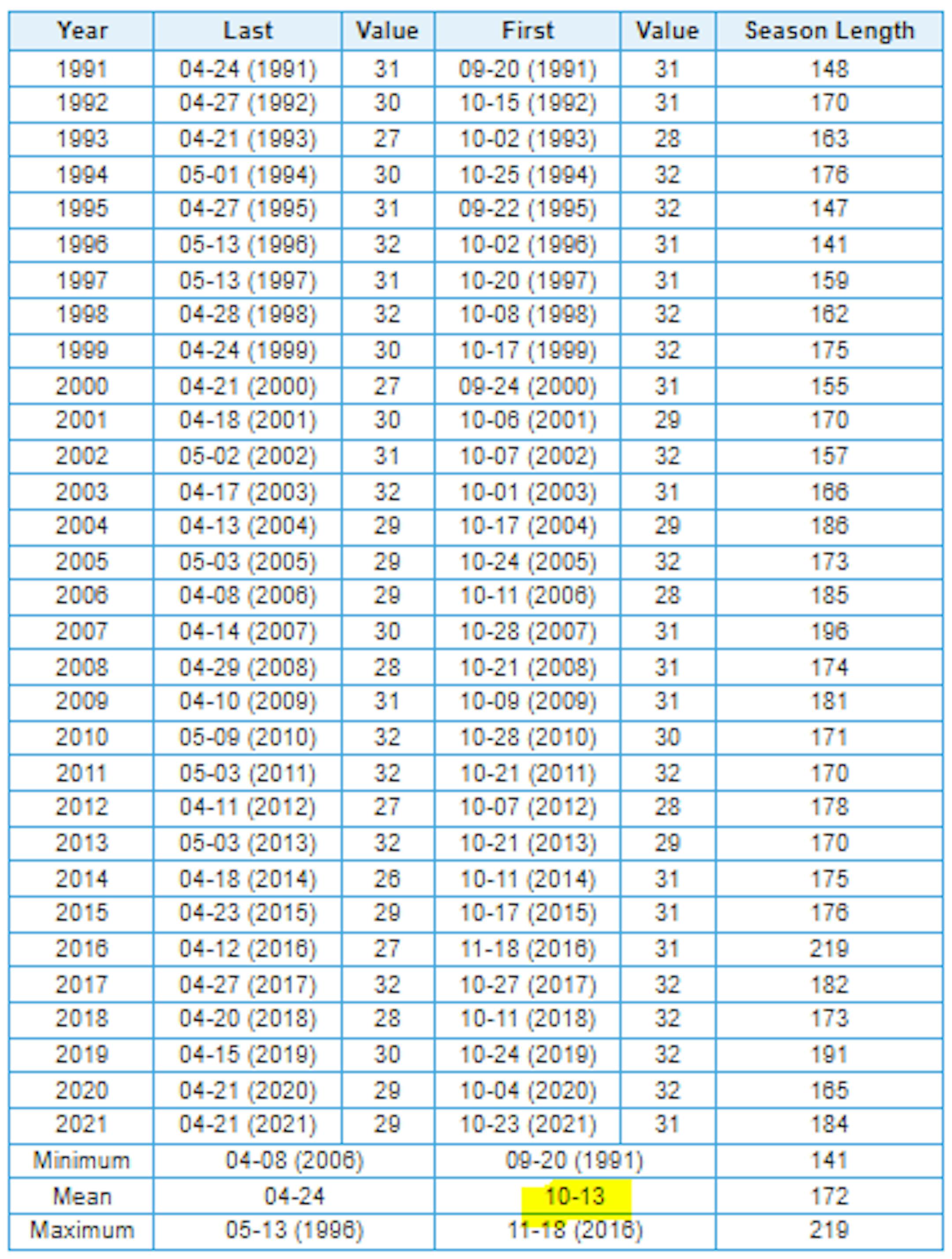
Coolest Air of the Season Arrives Late Week
Here are the coolest high temps of fall so far at MSP. The coolest day was 57F on September 23rd with a number of other days seeing highs only warming into the 60s. However, temps later this week will only warm into the 40s and 50s, which will likely be the coolest daytime highs of the season so far.

Sharp Cold Front Arrives Midweek
Here's the 850mb temp anomaly from AM Tuesday to AM Saturday. Note the oranges and reds in place through midweek, which suggests above average temps through that time frame. However, there is a sharp cold front that will blast through late Wednesday with temps tumbling into the 40s and 50s on Thursday and Friday across the state with widespread frost/freeze concerns. This will be some of the coldest air of the season

Much Colder Late Week
Here's a look at the extended temperature outlook for Minneapolis. Note that highs will warm into the 70s through Wednesday before the bottom falls out late week. High on Thursday and Friday will only warm into the 40s and 50s across the state, which will be well below average for early October and likely some of the coolest air of the season so far.

Widespread Frost/Freeze Friday Morning
Weather models are still pretty gung-ho on some cold air at the end of the week with widespread frost/freeze potential on Friday morning. At this point, temps could dip into the 20s and 30s across much of the state. Stay tuned...


Cold Friday Highs
Daytime Highs on Friday will be some of the coolest air of the season. Note that highs will only warm into the 40s and 50s across the state, which will be nearly -15F below average.


Severe Drought Continues in the Metro
According to the US Drought Monitor (updated September 27th), severe drought continues in the Twin Cities. Areas of moderate to severe drought stretch from the Twin Cities to the MN River Valley, where precipitation amounts are running several inches below average since January 1st.

Mostly Dry Extended Forecast
Here's the precipitation outlook through the first full week of October, which shows very little rainfall across the region. The best chance of any accumulation will be across the northern and western part of the state, where up to 0.25" may be possible.

Little Rain Chance Into Early October
Here's the weather outlook through the first week of October, which shows isolated rain chances through midweek. These rain chances will be fairly light across the Midwest with up to 0.25" rain possible for some. There will be a more potent front arriving late Wednesday with more widespread showers across the Great Lakes Region and it could be cold enough for snow closer to the international border and the northern Great Lakes!