"Allergy Season is Getting Worse — Thanks to Climate Change"
"If you're one of the millions of seasonal allergy sufferers in the United States, you might have noticed that your runny nose, itchy eyes and other symptoms are getting worse with each passing year. That's because climate change is causing plants to produce higher concentrations of pollen for longer periods of time, according to one NC State expert. Pollen is the fine powdery substance, typically yellow, produced by the male parts of a flower. It's carried by wind, water, insects and other animals to the female parts of the same flower, or a different flower of the same species, in order to produce viable seed. When dispersed into the air, however, pollen also sometimes enters the nose, mouth and eyes of humans, causing some to experience allergic reactions. Pollen production is staggered over the season. But recent research shows that compared with 30 years ago, pollen production has been extended by about a month, starting about 20 days earlier and ending 10 days later. This has given plants more time to reproduce, causing pollen production by some trees to rise by 21%. Scientists estimate that pollen production of some plant species could increase by 250% over the next 60 to 80 years. "

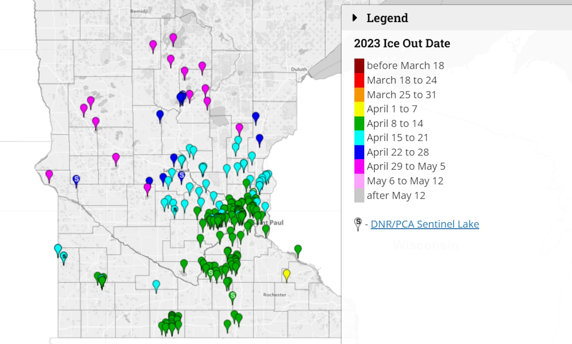
Extended Weather Outlook
The weather outlook through the rest of the week and into the weekend ahead looks a little quiet to start but will turn more unsettled as we approach the weekend. A storm system will approach from the west and spread showers and a few thunderstorms across the Midwest through early next week. It won't be a complete washout, but it will be a little more unsettled through the first weekend of May.

Precipitation Outlook
Here's the total rainfall potential through early next week and amounts could approach 0.50" across parts of Central and Western Minnesota. Amounts may vary across the state, but it doesn't appear to be a bit soggy as we head into the weekend. Stay tuned...

Twin Cities Weather Outlook For Wednesday
The weather outlook for the Twin Cities on Wednesday, May 3rd looks quite a bit nicer than it was earlier this week. Highs will approach the upper 60s, which is closer to average for early May with much lighter winds than we had Monday and Tuesday. We'll start off with sunnier skies and could perhaps see a few more clouds later in the day.

Weather Outlook on Wednesday
Temps on Wednesday will be closer to average in the Twin Cities with highs warming into the mid/upper 50s. However, readings across the Western part of the state could warm into the 70s, which will be nearly +5F to +15F above average for this time of the year.


Meteograms For Minneapolis
The hourly temps through the day Wednesday shows temps starting in the upper 30s in the morning and warming into the mid/upper 60s by the afternoon. It'll be mainly sunny with much lighter winds throughout the day. Northwesterly winds may only gust up into the 10mph to 15mph range, which will be significantly lighter than they were earlier this week.


Extended Temperature Outlook For Minneapolis
The 5 day temperature outlook for the Twin Cities looks quite a bit warmer than it has been over the last couple of weeks. We'll finally sneak up into the 60s and 70s over an extended period, which will actually closer to, if not slightly above average for early May.