

At 2,301 feet, Eagle Mountain is Minnesota’s highest point. It’s part of the rolling Misquah Hills, in the northeast corner of the state known as the Arrowhead, where the Superior National Forest and Boundary Waters Canoe Area Wilderness merge. At the top, on a clear day, you can see Lake Superior, which at 600 feet above sea level is Minnesota’s lowest point.
Years ago, when I heard about that tidy and potentially awe-inspiring alignment of superlatives, I looked it up: a moderately challenging 7-mile hike — the same 3.5 miles up, then back. I was determined to experience it.
The first time I did was on my honeymoon, and tackling such a beautiful goal together made perfect sense. The second time, I hiked it with my elementary-aged kids during COVID, when it provided a safe confidence-booster to break up the monotony of schooling from home. This time, it was all four of us on a North Shore fall getaway, looking to re-create a beloved memory during a new life stage.
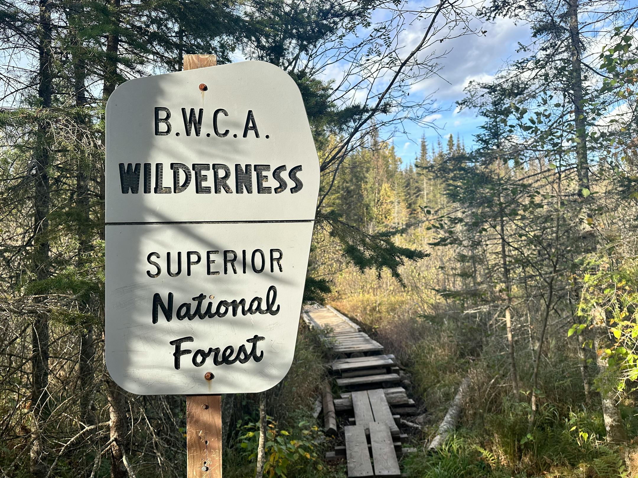
We arrived at the trailhead, about half an hour northwest of Grand Marais, by noon on a fall Friday. The gravel parking lot, which holds around 20 vehicles, was almost full. It didn’t take long to self-issue our BWCA day-use permit at the trailhead kiosk. Then we were off.
Immediately, the rolling trail felt familiar: packed earth webbed in thick tree roots worn shiny brown, dusted in crispy pine needles and yellow poplar leaves, and studded with rock. Lots of rock. Eagle Mountain is a billion-year-old hunk of cooled lava, after all. In some places, side-by-side planks ran over shallow marshland.
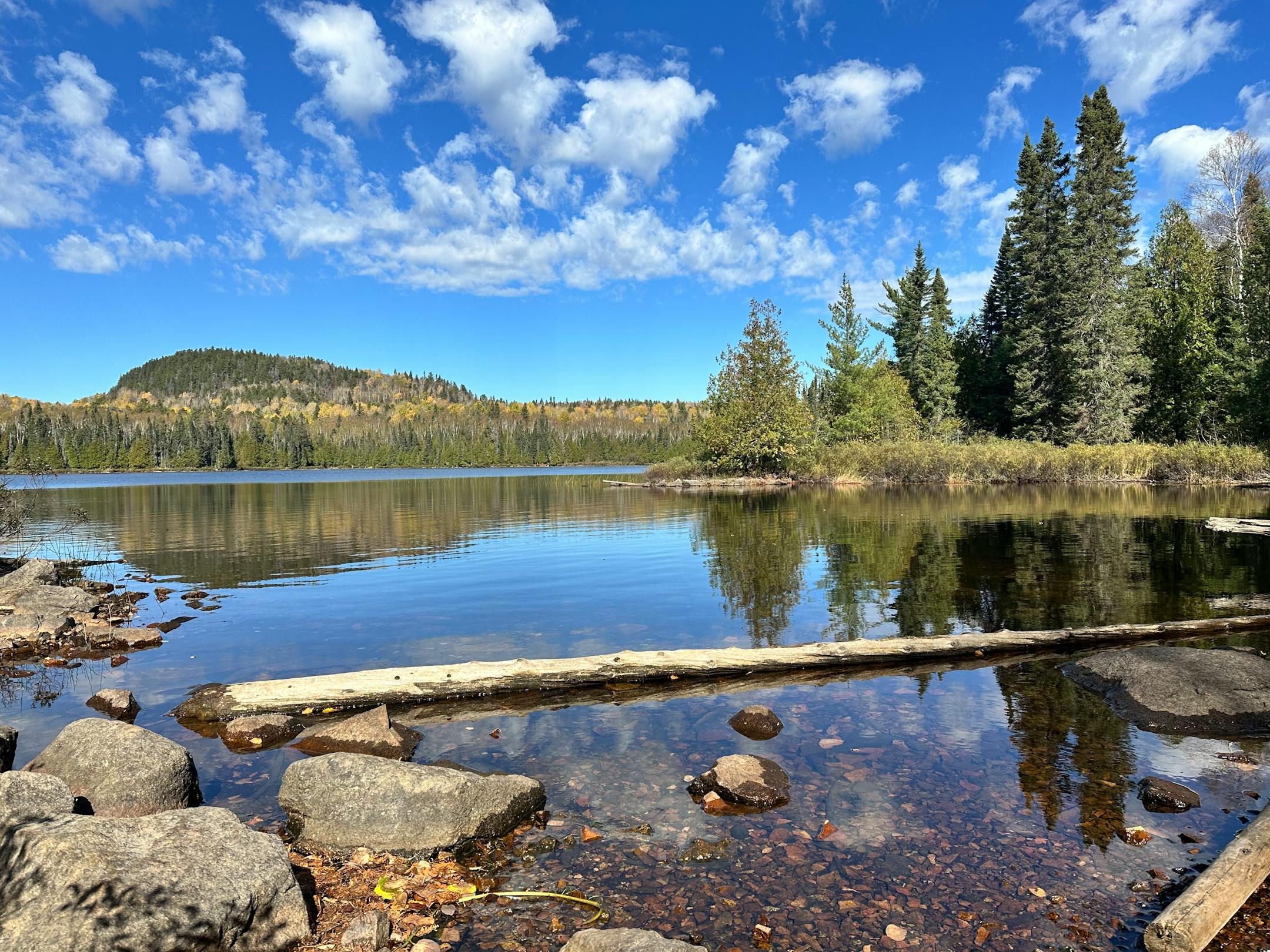
My husband Clint and I hiked at a comfortable rate, mindful of our footing. Still, our pace was not brisk enough for the kids, now 12 and 14, who struck out ahead. About an hour in, they stopped to wait for us trailside at Whale Lake, the approximate halfway point that we all remembered for its beauty and waterside logs. It made a fine spot to sit, snack and rehydrate.
Another mile later, our path merged with the longer Brule Lake Trail ahead of the summit climb, a steep, rocky scramble. After 15 minutes of focus and decent quad engagement, we hit a small clearing. Scraggly pine tops gave way to a valley of trees below, dominated by yellow poplars. It was the first of two amazing summit views.
The second was a few minutes farther and featured more of the same, plus the Cascade River, a band of sparkling blue. There was a palpable, exhausted camaraderie among the small collection of fellow hikers here, staking out spots among the rocks to picnic or enjoy the view. One hiker broke the silence, wondering aloud about where to find that promised Lake Superior view on this clear day.


