MUCH Colder Weather Ahead
Temperatures on Tuesday were nearly +20F above average across the region prior to a cold front sweeping through during the evening with scattered showers and storms developing along it. The 850mb temperature anomaly shows much cooler air working into the region through the rest of the week and into early next week, where temps will be running well below average with frosty overnight lows.

Extended Temperature Outlook
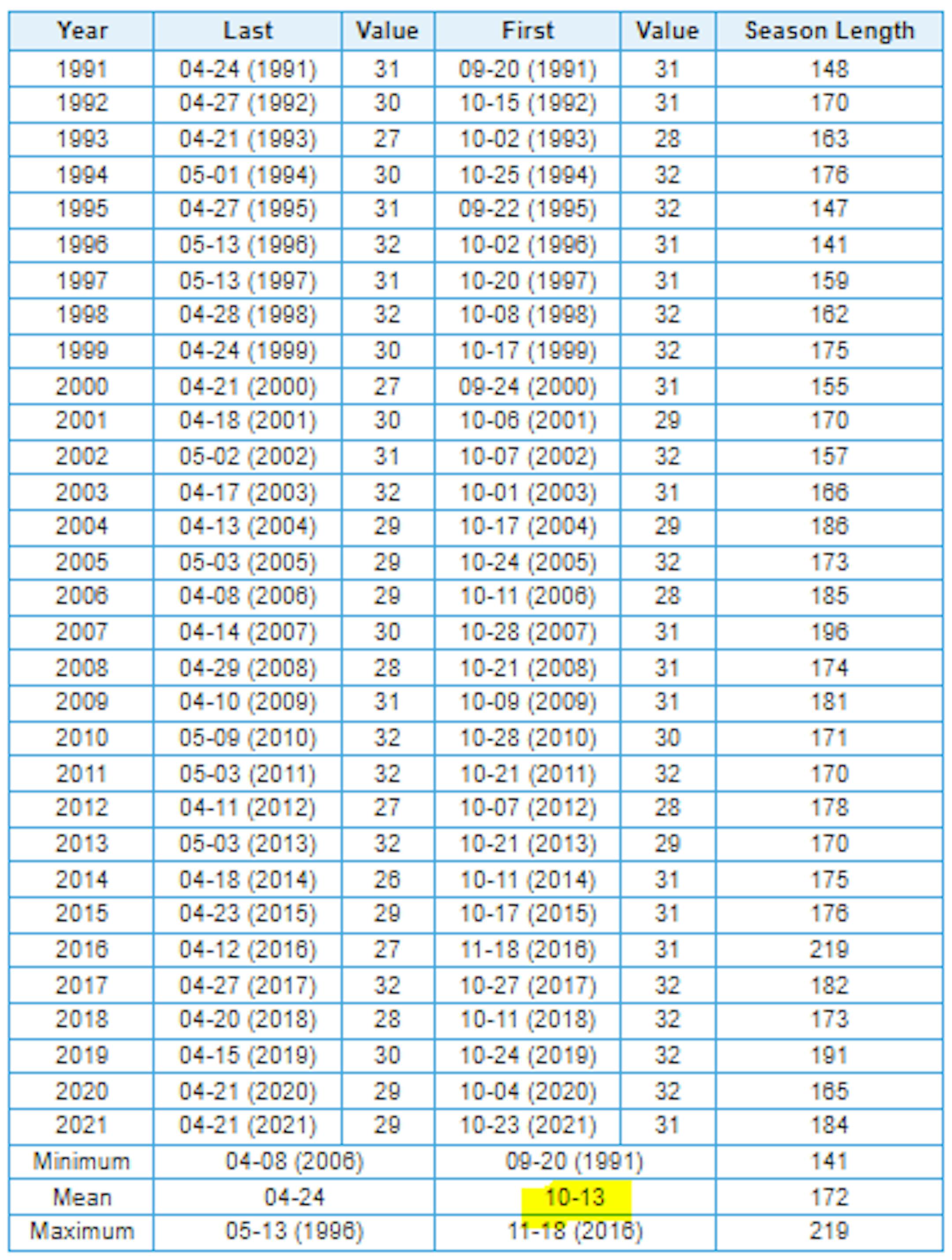
Here's the extended temperature outlook for Minneapolis through next week, which shows very chilly high and low temperatures in place as we slide through mid month. Note that highs may only warm into the 40s and 50s, which will be nearly -10F to -15F below average at times. We'll also have a chance of several frosty overnight across the metro and possibly into the suburban core. Note that we have not yet had an official freeze at the MSP Airport. The coldest low temperature recorded was 34F on October 8th.

Rain Mixed With Snow Up North?
Here's the simulated radar from 7am Wednesday to 7am Thursday, which shows lingering shower and possibly a few claps of thunder across parts of Minnesota and Wisconsin. Interestingly, as temperature continue to drop, there could be enough chilly air up north to support scattered snow showers late Wednesday into AM Thursday.

Slushy Snow Up North?
Note that any snow that falls up north late Wednesday into AM Thursday will melt on contact, but there could be some brief slushy coatings in a few spots across the northeastern part of the state.

Fall Color Update
Here's the fall color update for Minnesota & Wisconsin. Thanks to recent frost overnight lows and dwindling daylight - peak color is coming fast to a backyard near you. Note that peak color is already being reported across parts of northern Minnesota and Wisconsin with near peak color in many other locations. Get out there and enjoy it quick before it's too late!
See more from the MN DNR HERE & Travel Wisconsin HERE:


Average Fall Color
The MN DNR has put together a nice graphic that shows typical dates for peak fall color. The northern par of the state starts to peak during the 2nd half of September into early October. Meanwhile, folks in the central part of the state and into the metro typically don't see peak color until the end of September into the middle part of October. It won't be long now - enjoy!

What Causes Fall Colors?
The chemicals - Four main groups of biochemicals are responsible for the various yellows, oranges, reds and browns that we see in the fall: Chlorophyll, Carotenoids, Anthocyanins, Tannins. Each has its own color and chemistry. As the amount of these chemicals vary, they will cause subtle variations in color from one leaf to the next, or even from tree to tree.